A visit to the famous parks of Utah
- Utah is a state in the western United States.. It became the 45th state admitted to the U.S. on January 4, 1896
|
|
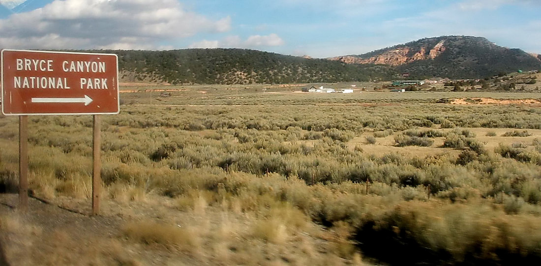
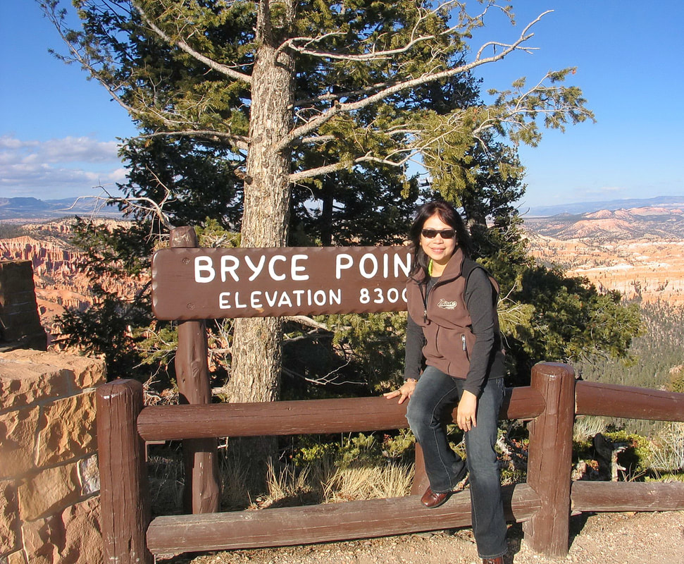
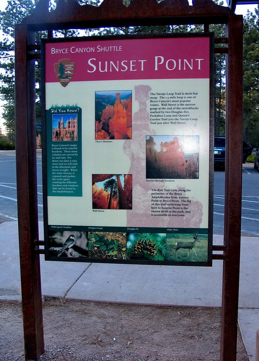
Bryce Canyon National Park
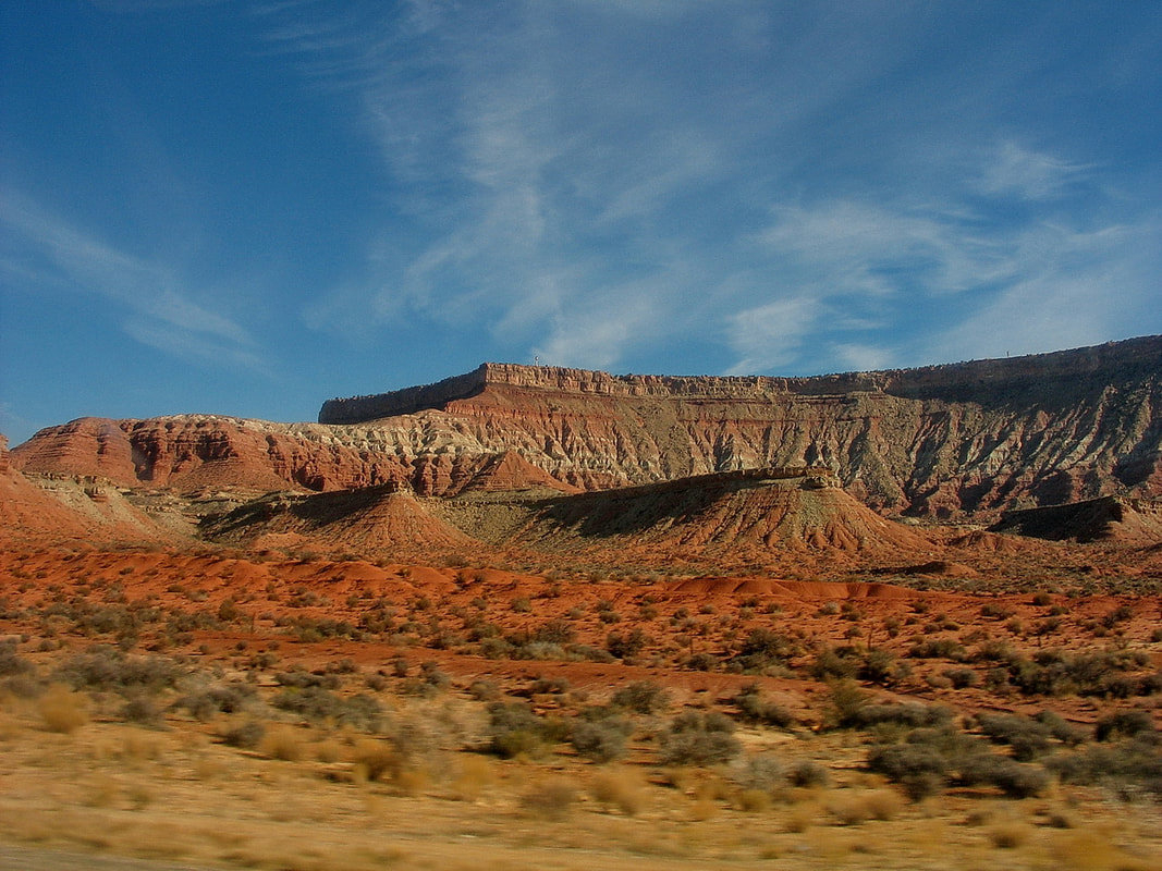
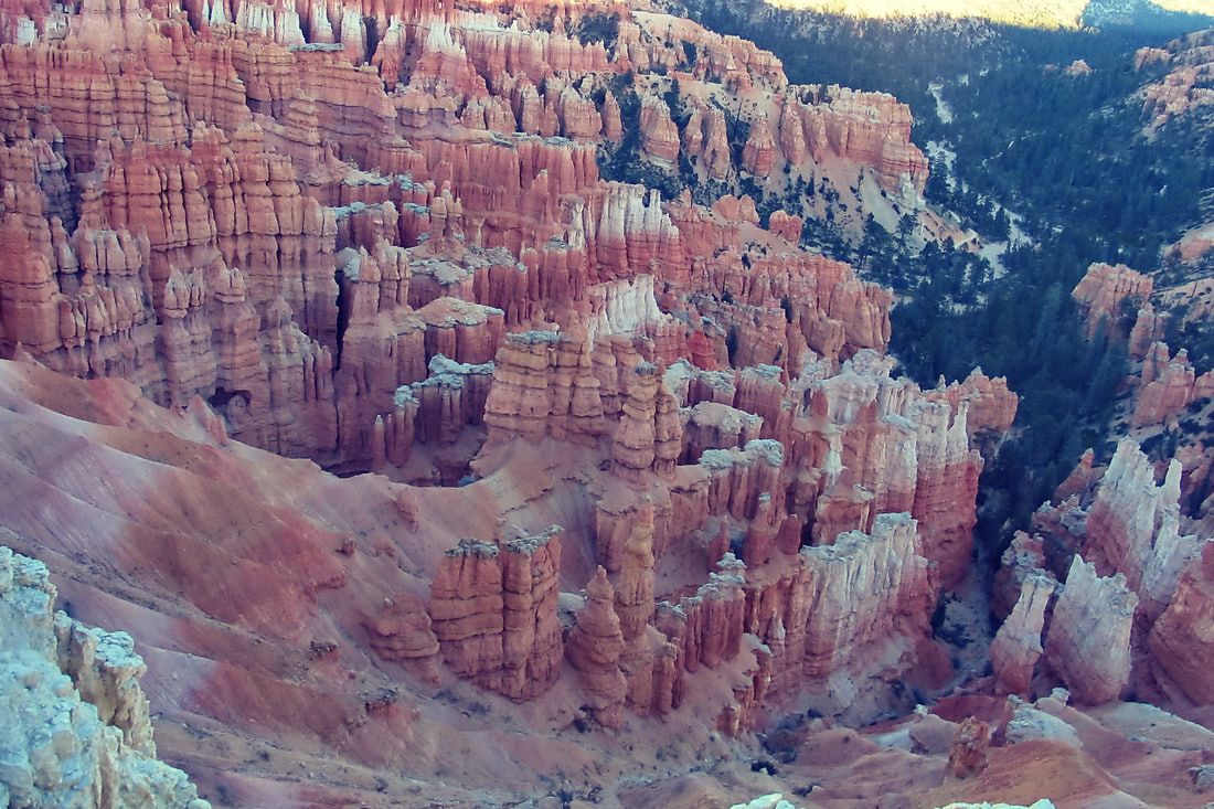
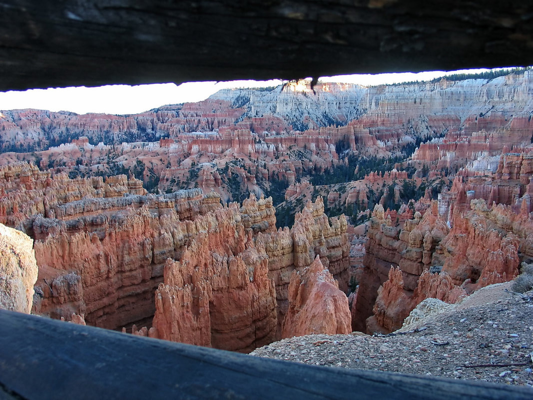
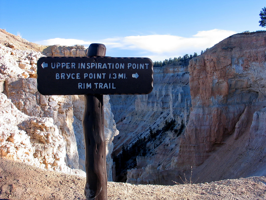
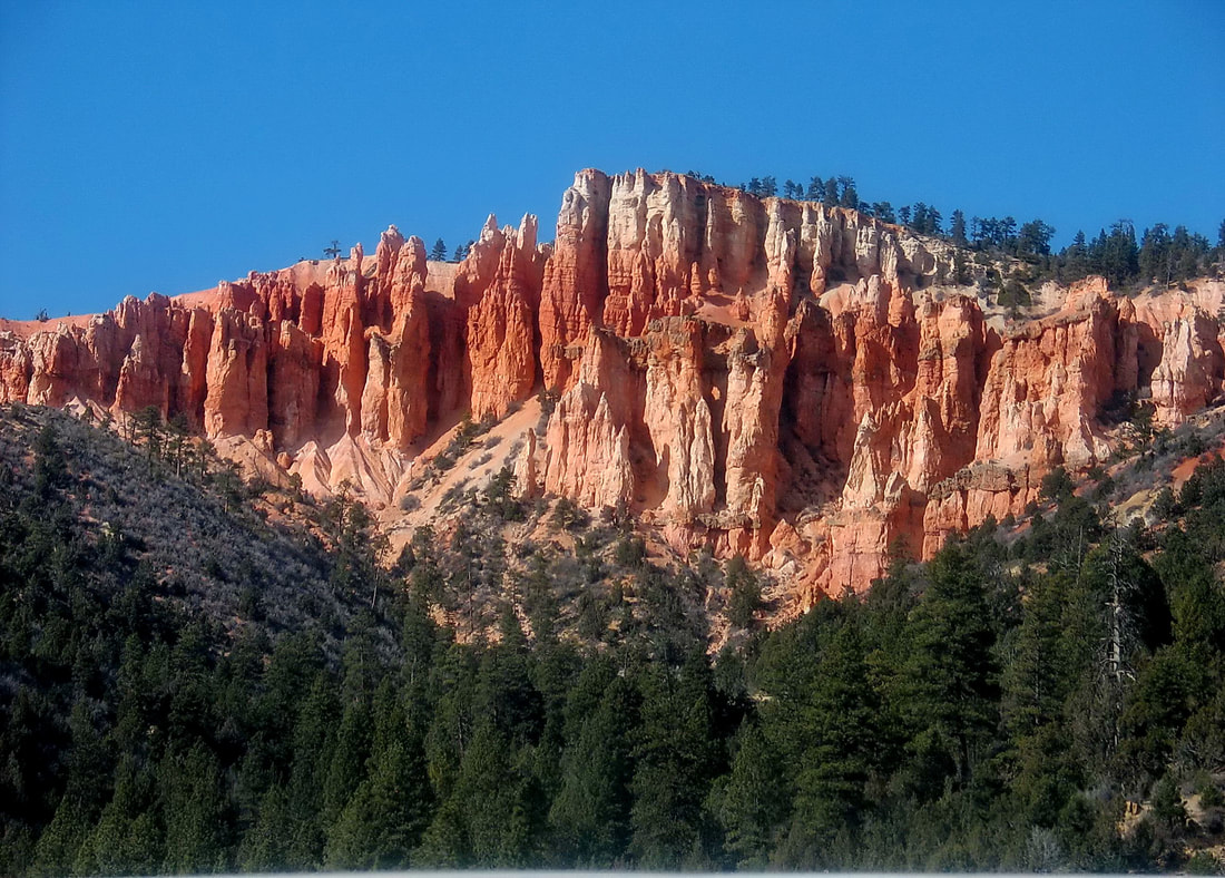
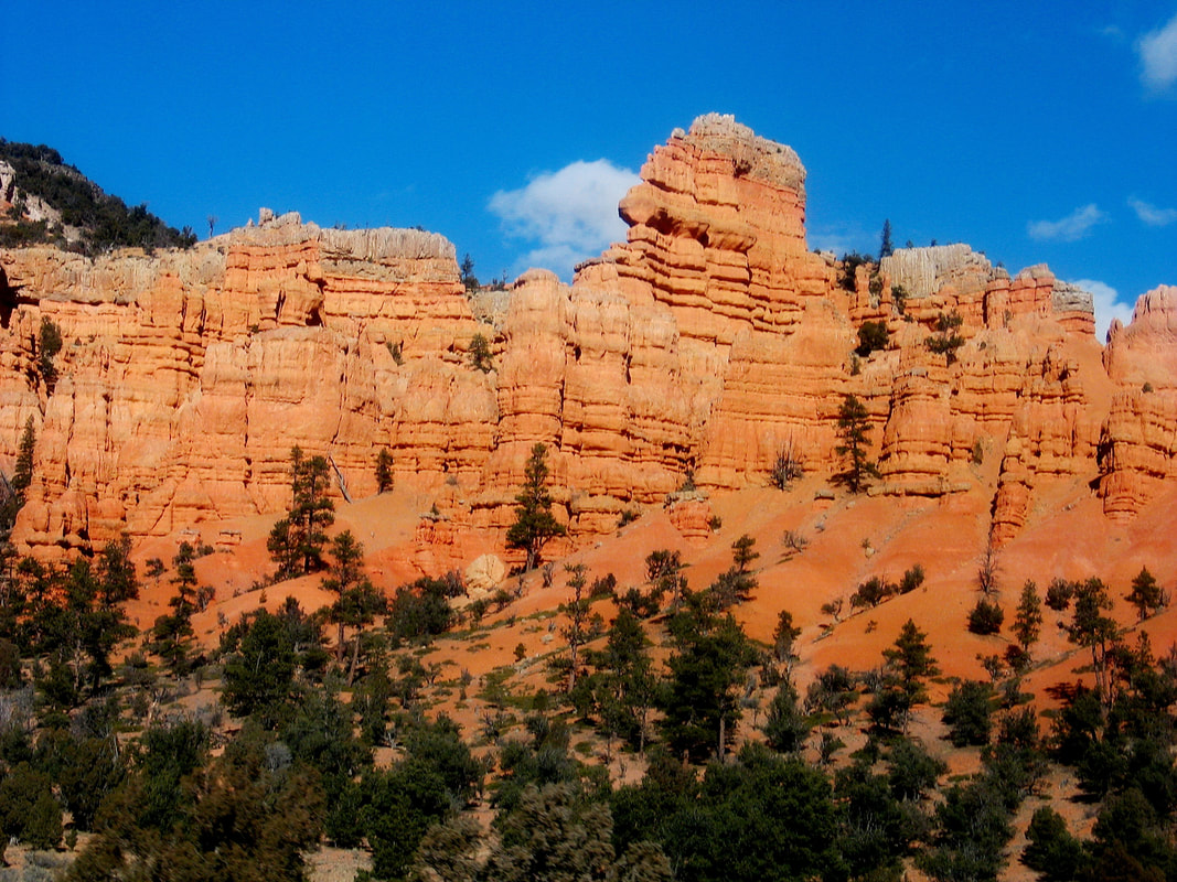
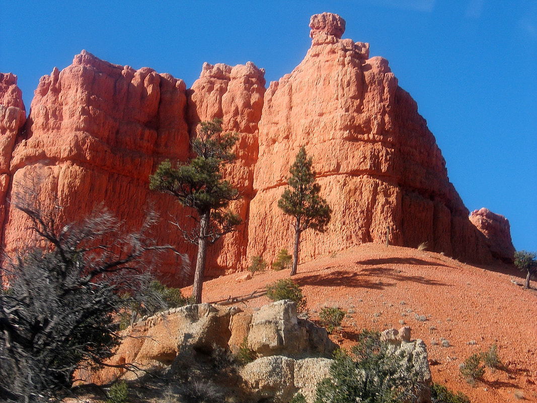
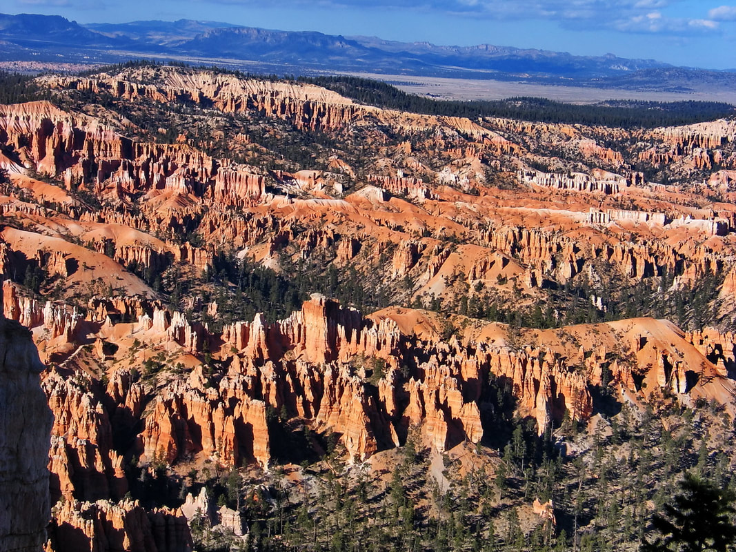
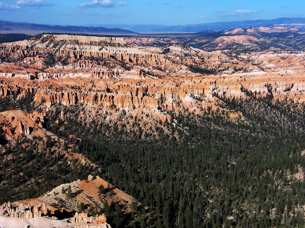
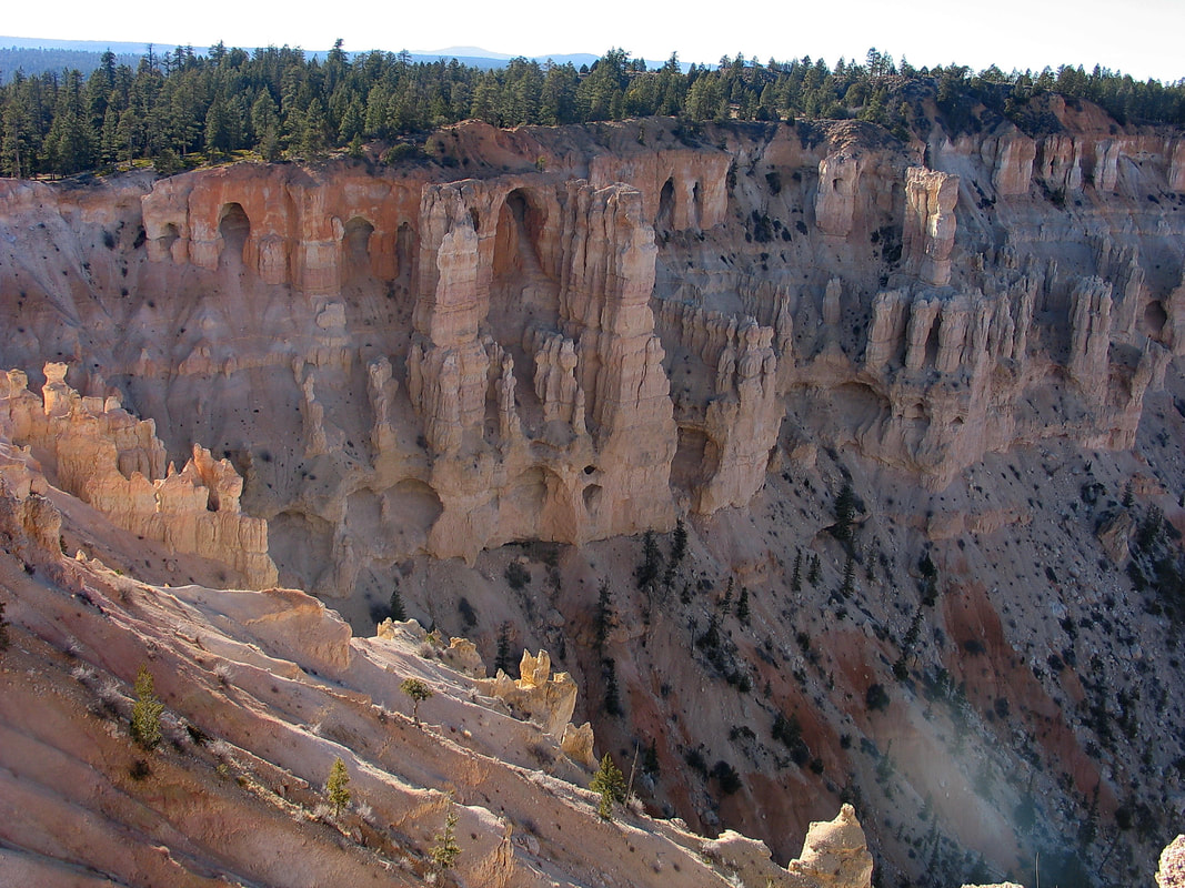
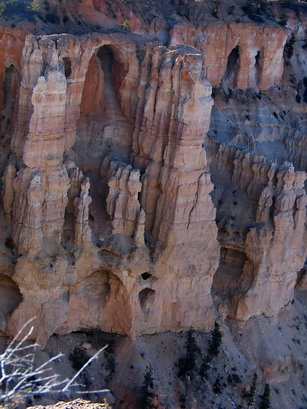
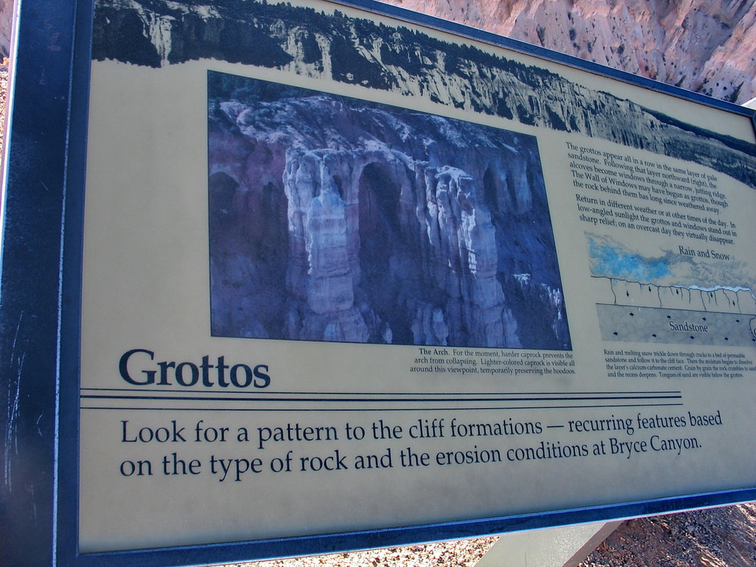
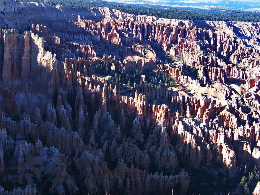
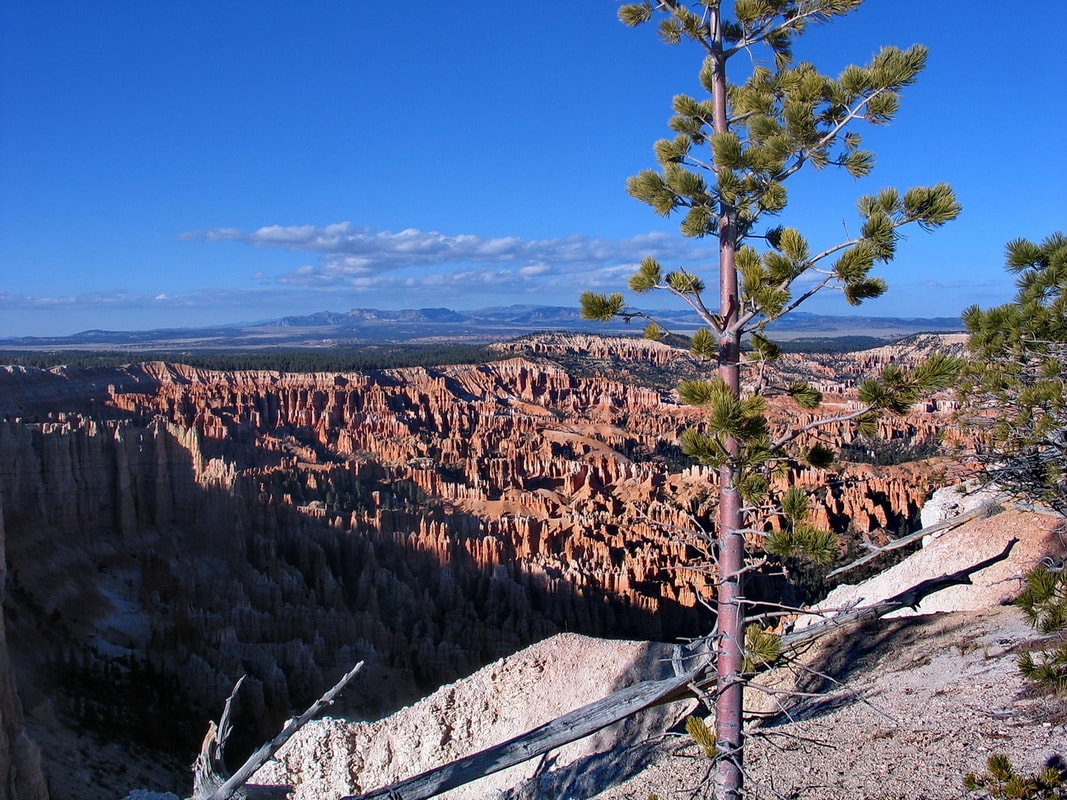
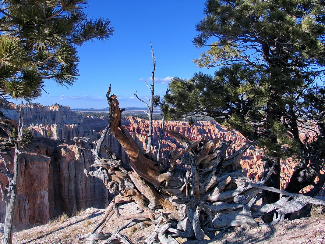
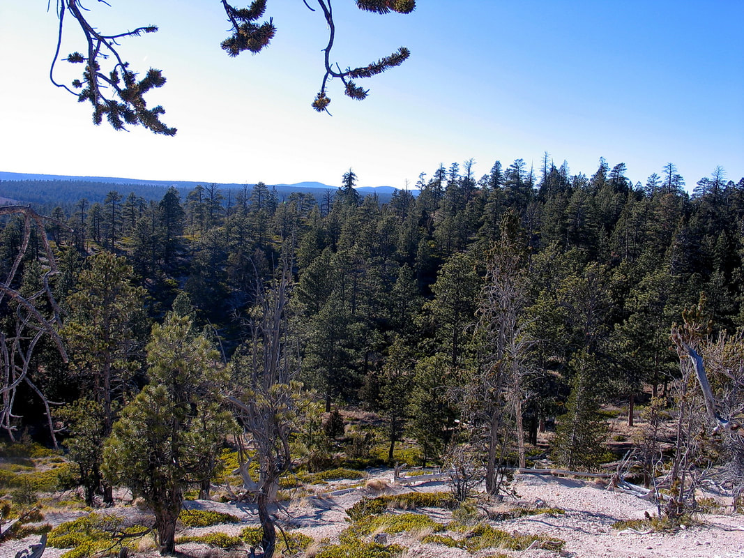
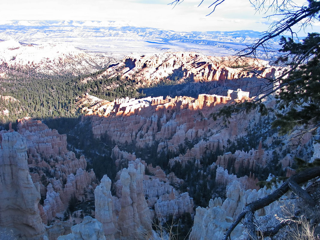
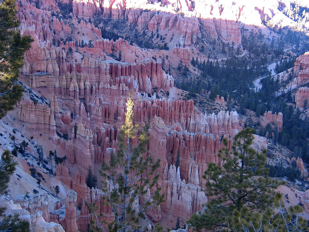
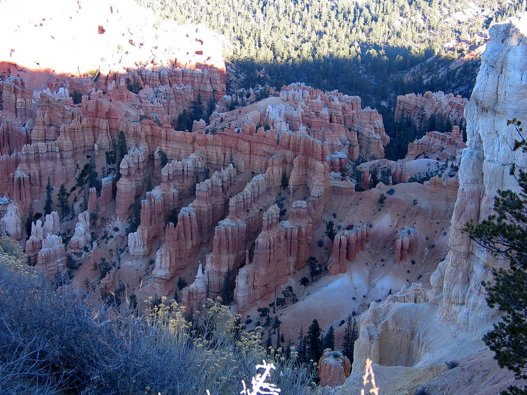
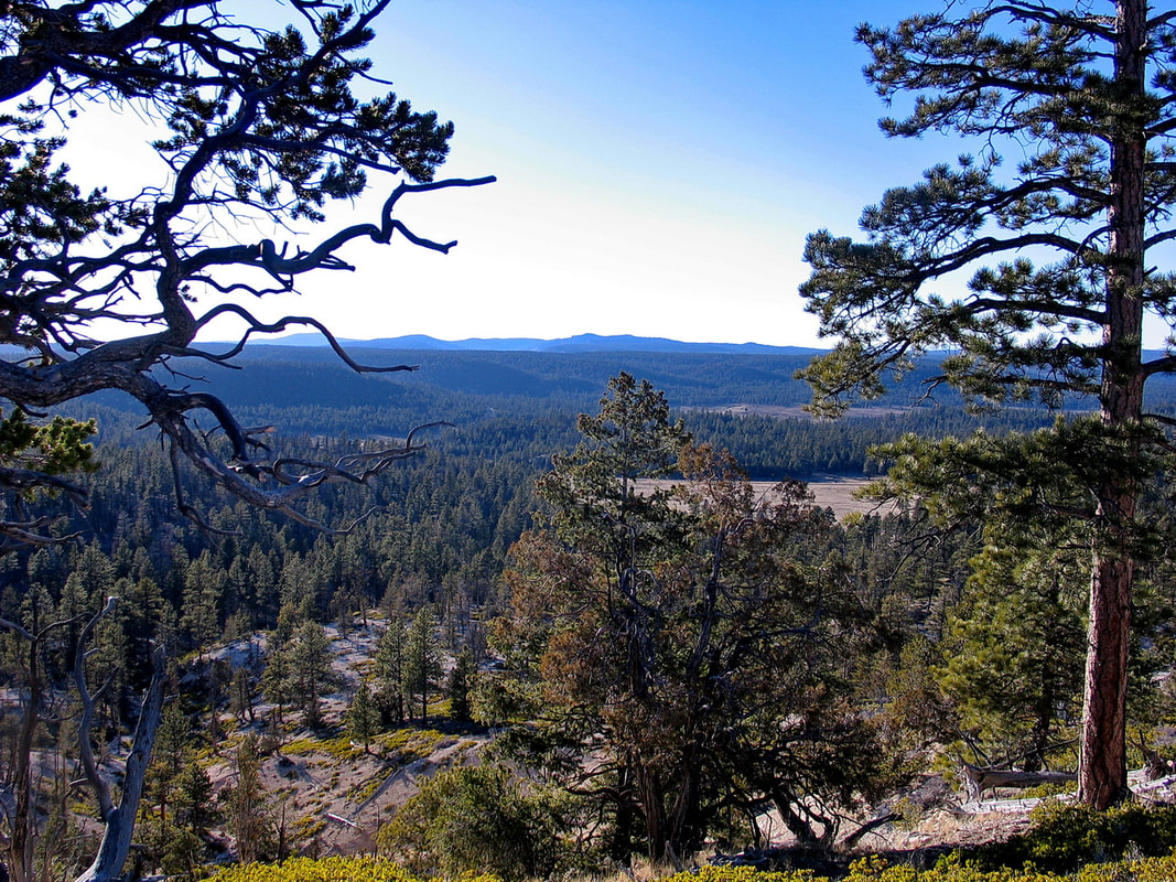
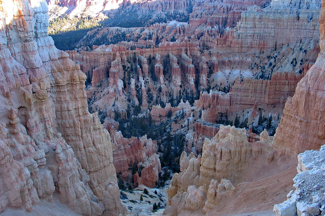
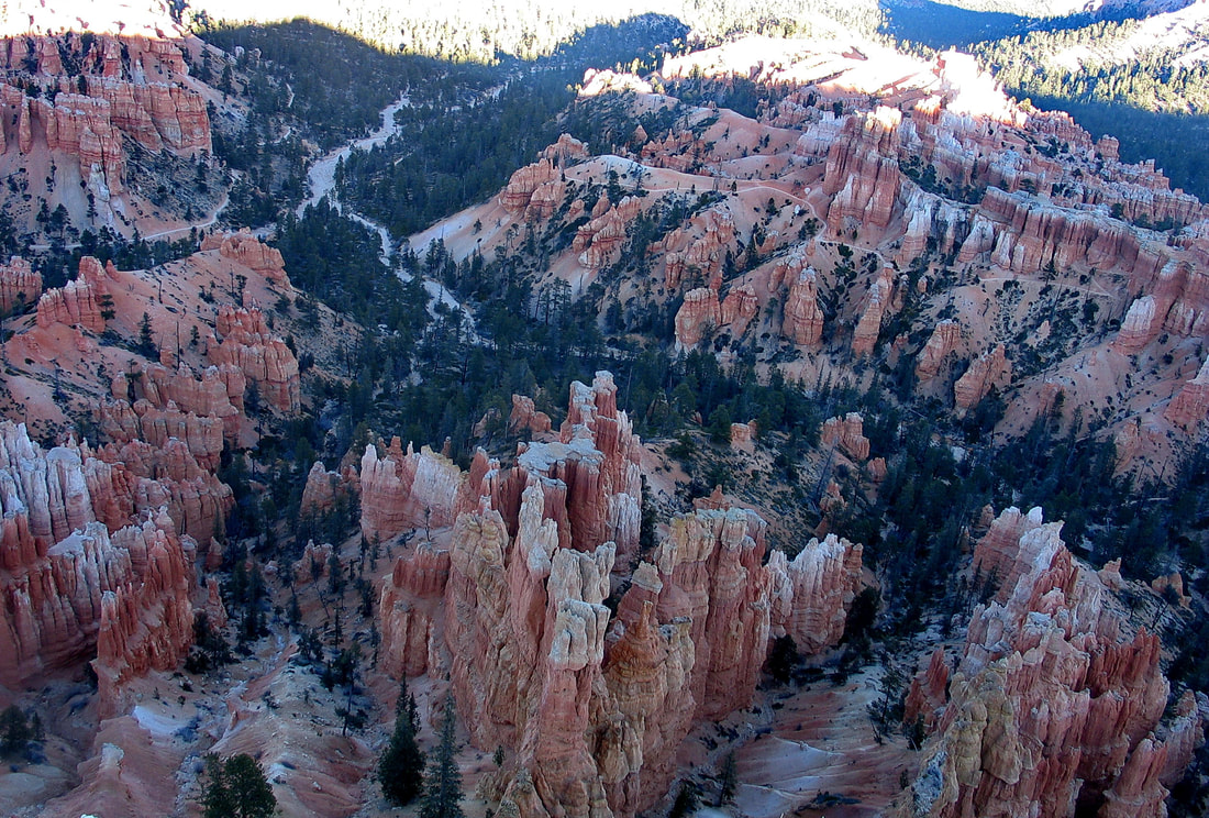
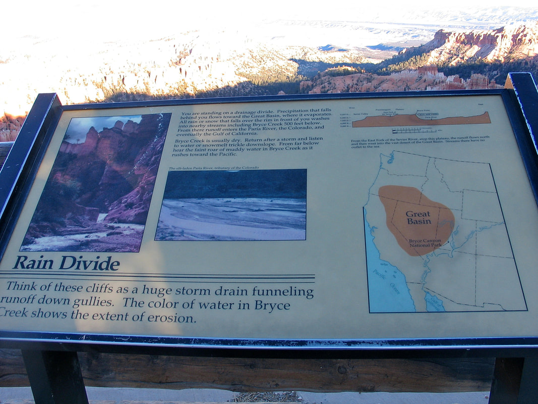
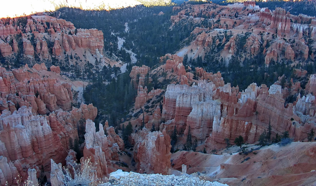
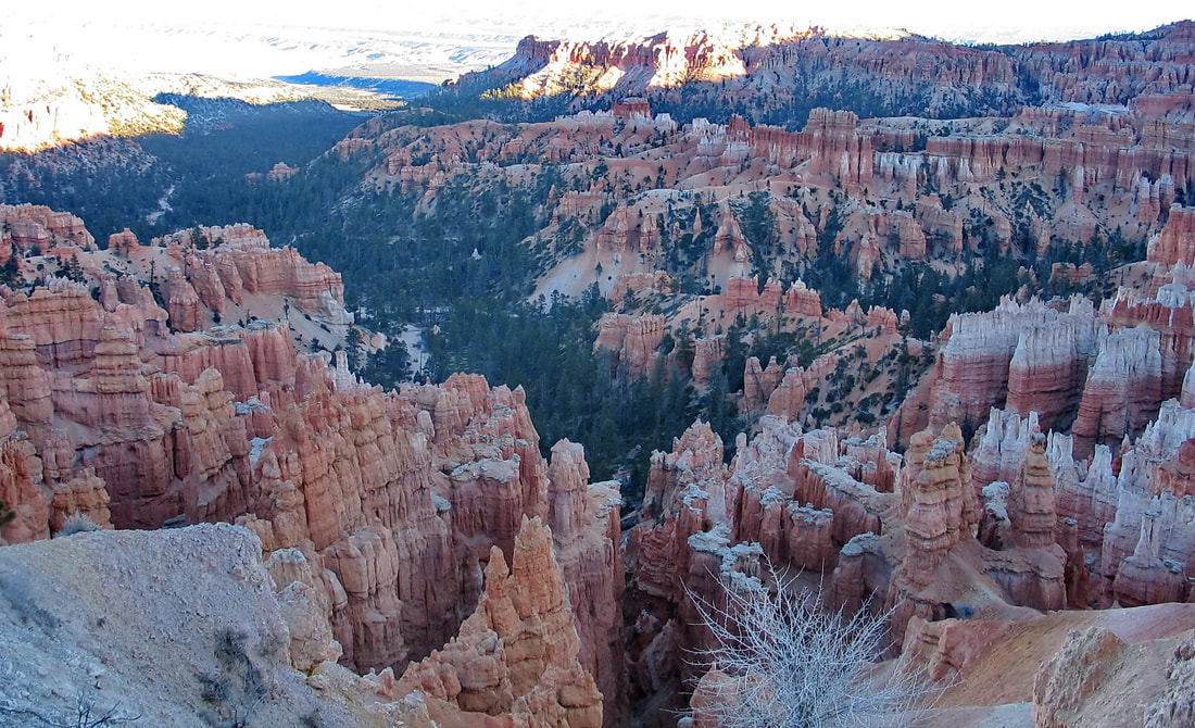
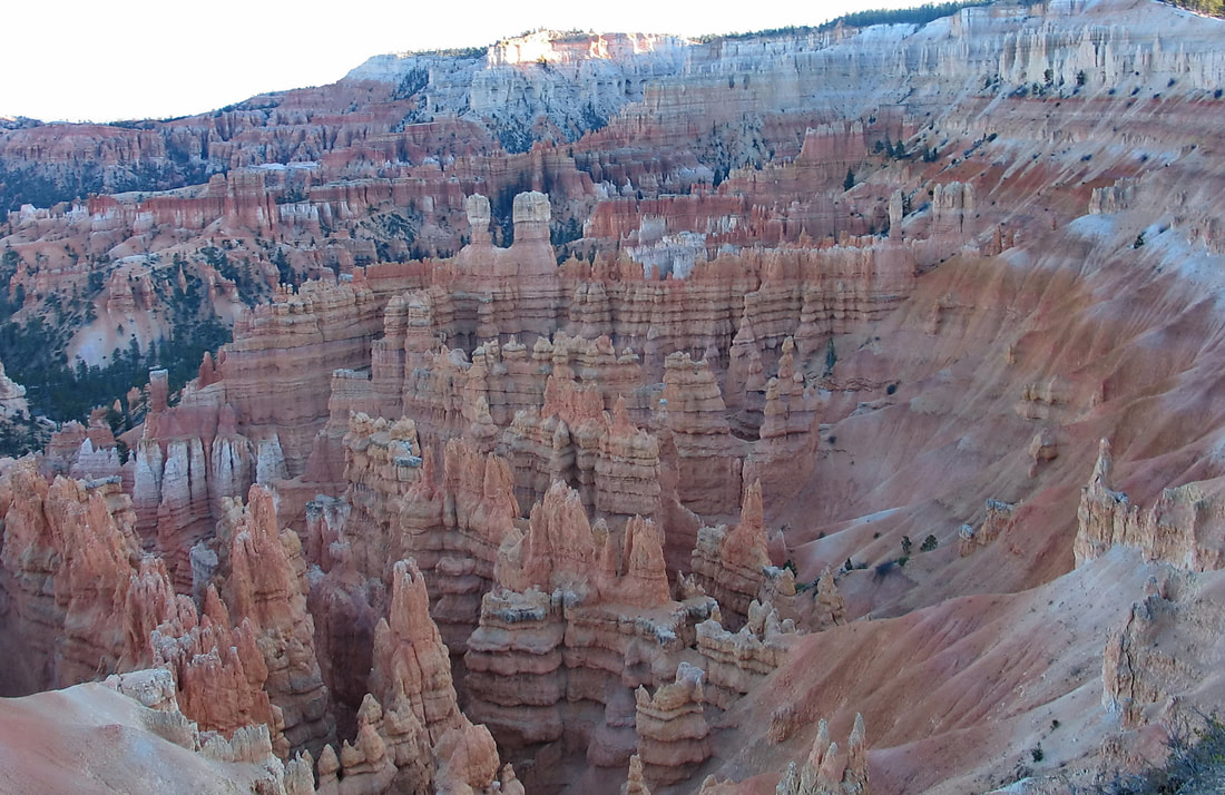
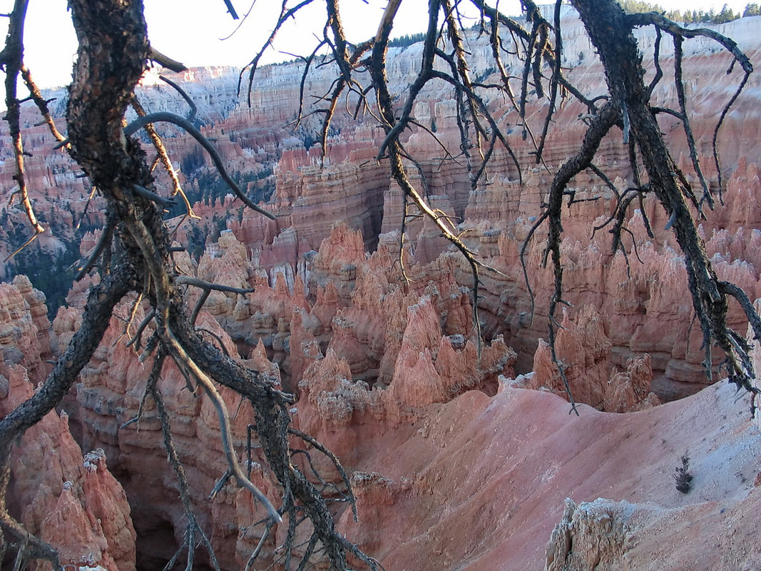
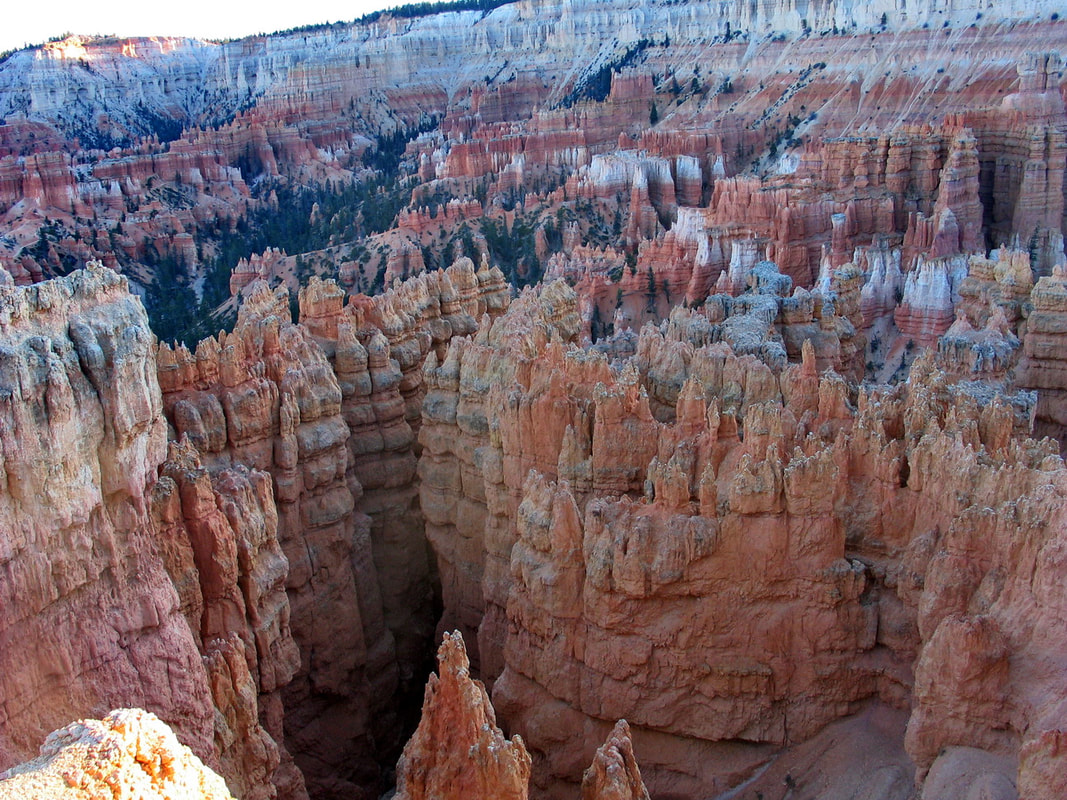
Bryce Canyon National Park /braɪs/ is a United States national park located in southwestern Utah. The major feature of the park is Bryce Canyon, which despite its name, is not a canyon, but a collection of giant natural amphitheaters along the eastern side of the Paunsaugunt Plateau. Bryce is distinctive due to geological structures called hoodoos, formed by frost weathering and stream erosion of the river and lake bed sedimentary rocks. The red, orange, and white colors of the rocks provide spectacular views for park visitors. Bryce sits at a much higher elevation than nearby Zion National Park. The rim at Bryce varies from 8,000 to 9,000 feet (2,400 to 2,700 m).
The Bryce Canyon area was settled by Mormon pioneers in the 1850s and was named after Ebenezer Bryce, who homesteaded in the area in 1874.The area around Bryce Canyon was originally designated as a national monument by President Warren G. Harding in 1923 and was redesignated as a national park by Congress in 1928. The park covers 35,835 acres (55.992 sq mi; 14,502 ha; 145.02 km2) and receives substantially fewer visitors than Zion National Park or Grand Canyon National Park , largely due to Bryce's more remote location. (source-wiki) Note:All photos featured in this page were my amateur shots and not copied,downloaded nor grabbed from any source)
The Bryce Canyon area was settled by Mormon pioneers in the 1850s and was named after Ebenezer Bryce, who homesteaded in the area in 1874.The area around Bryce Canyon was originally designated as a national monument by President Warren G. Harding in 1923 and was redesignated as a national park by Congress in 1928. The park covers 35,835 acres (55.992 sq mi; 14,502 ha; 145.02 km2) and receives substantially fewer visitors than Zion National Park or Grand Canyon National Park , largely due to Bryce's more remote location. (source-wiki) Note:All photos featured in this page were my amateur shots and not copied,downloaded nor grabbed from any source)


Zion National Park
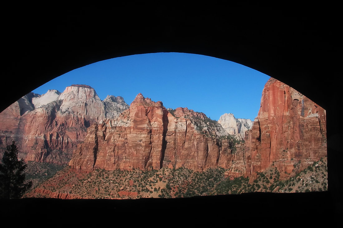
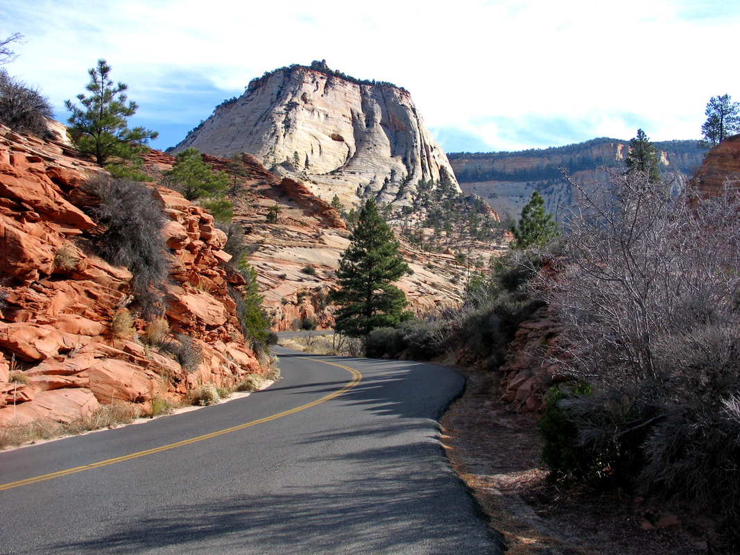
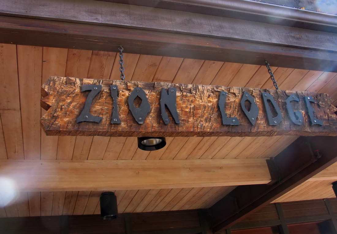
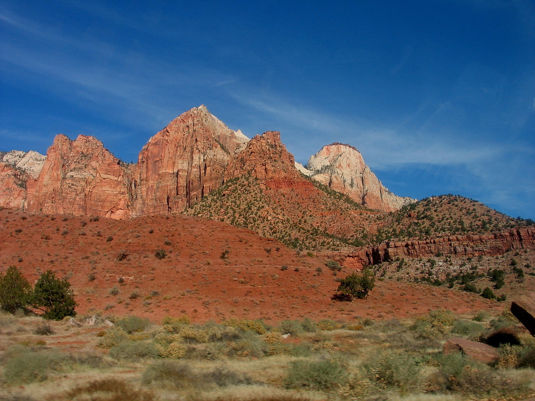
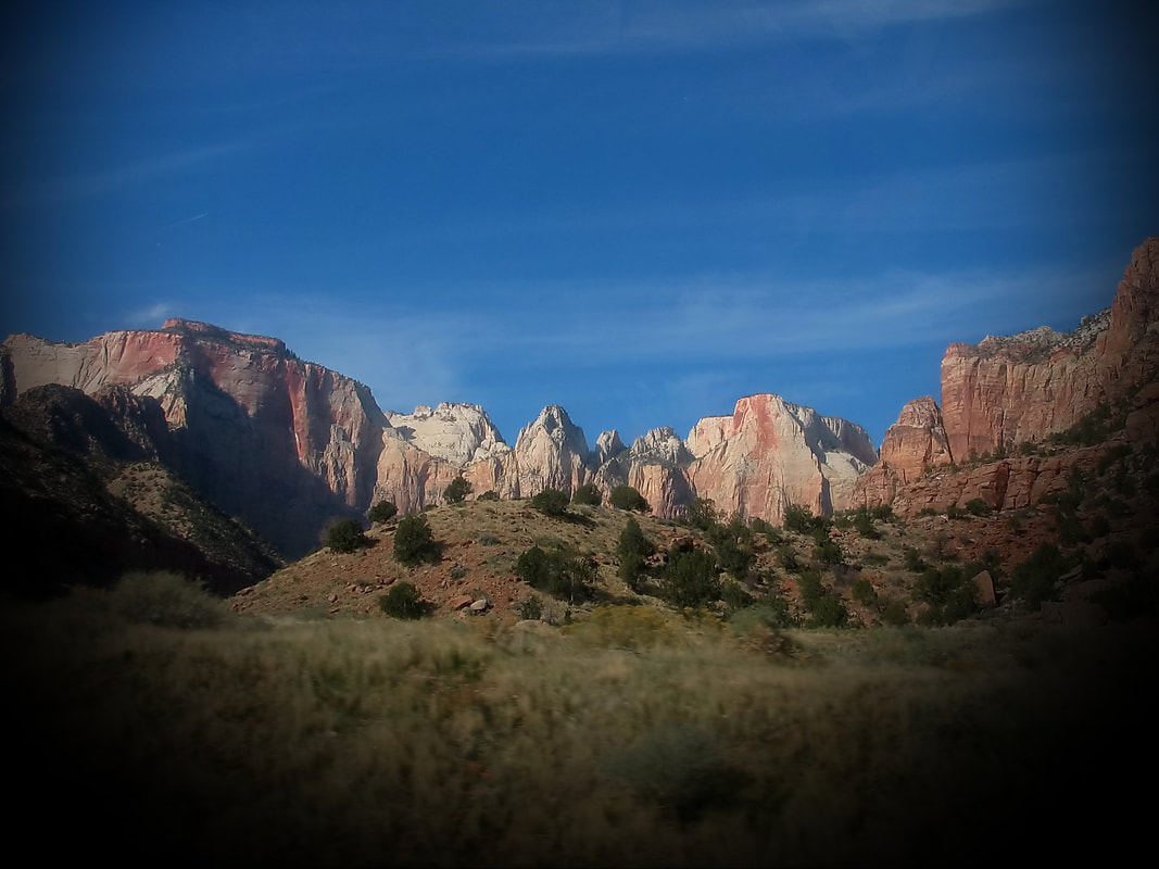
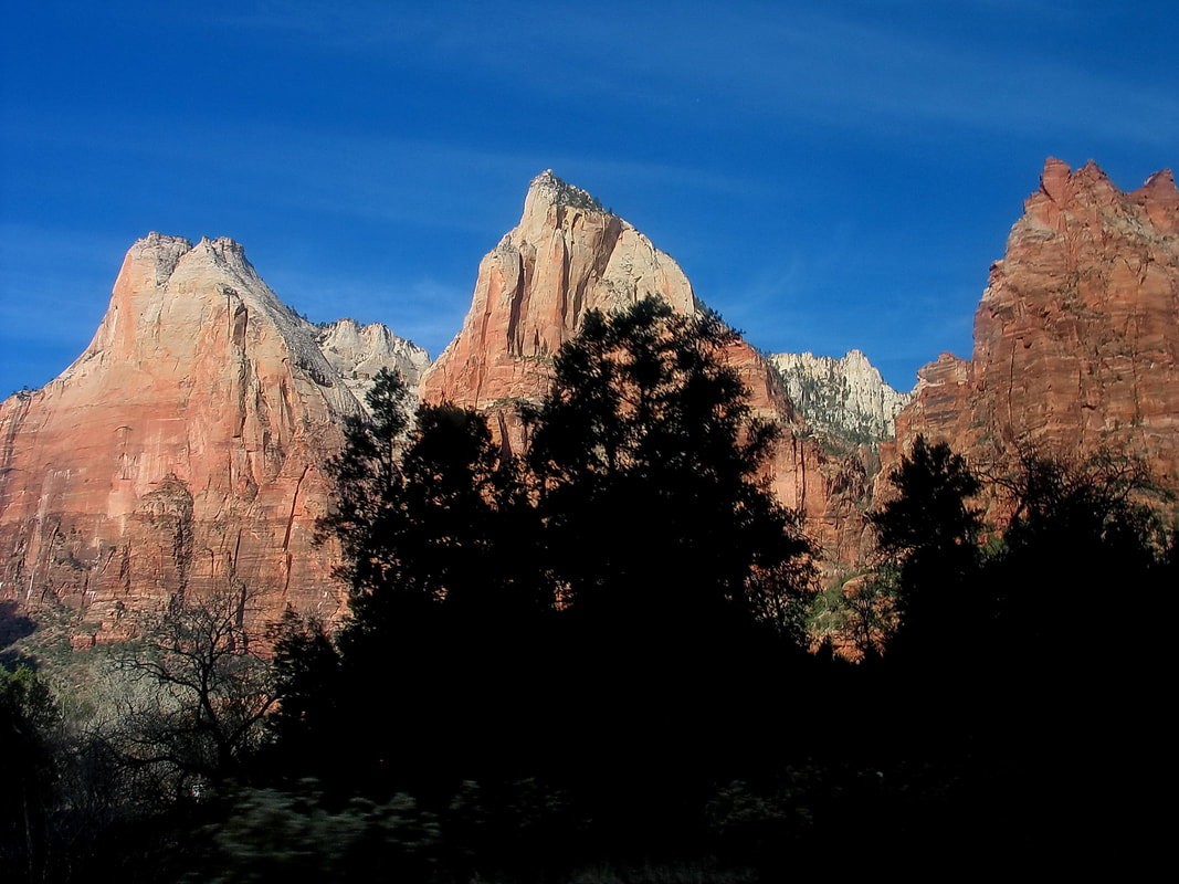
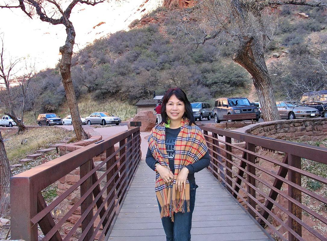
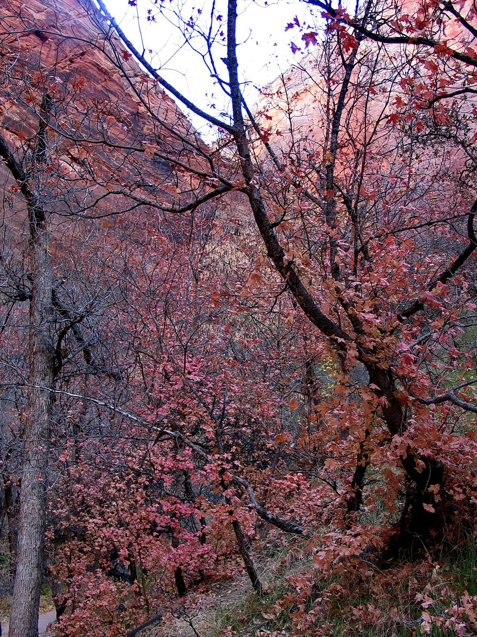
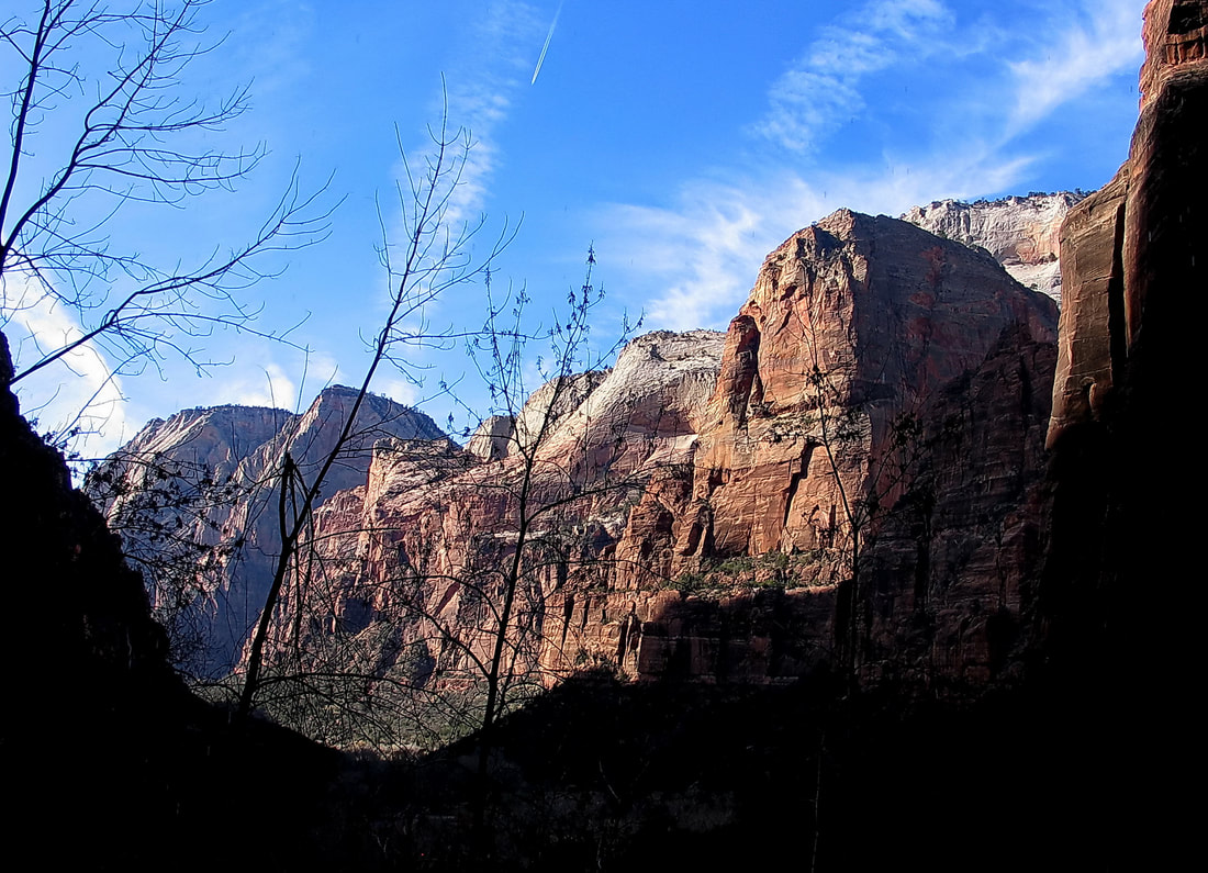
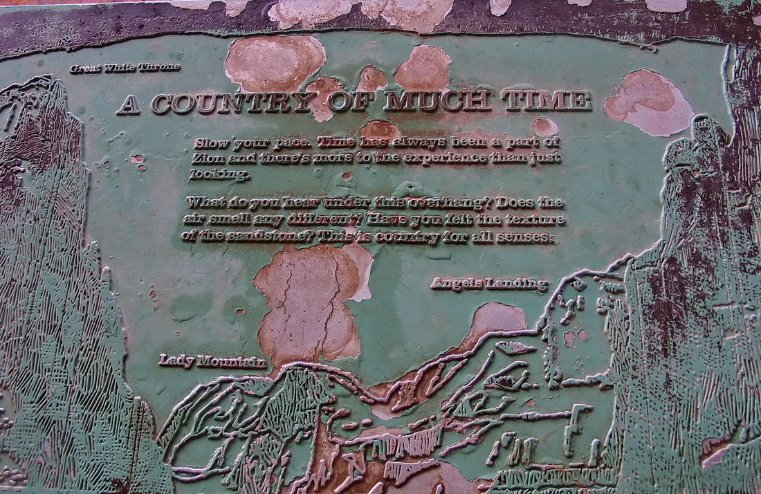
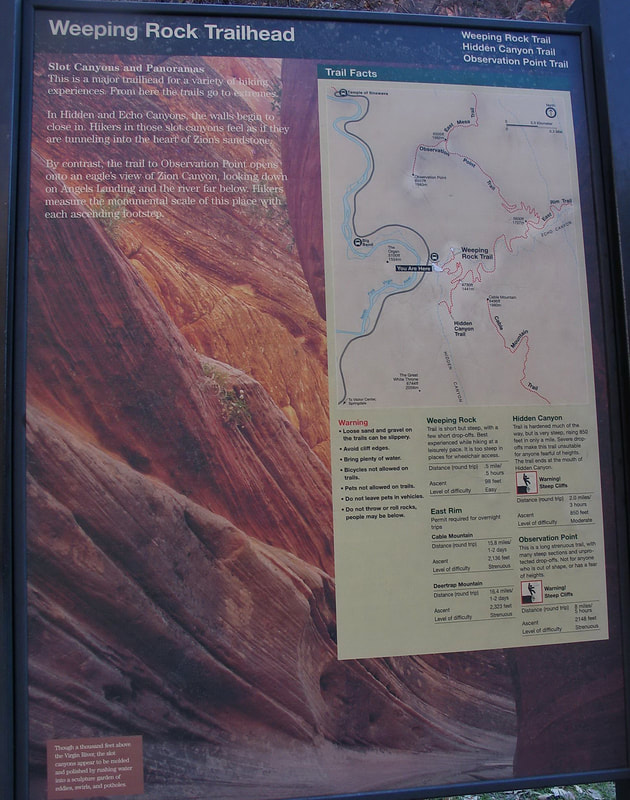
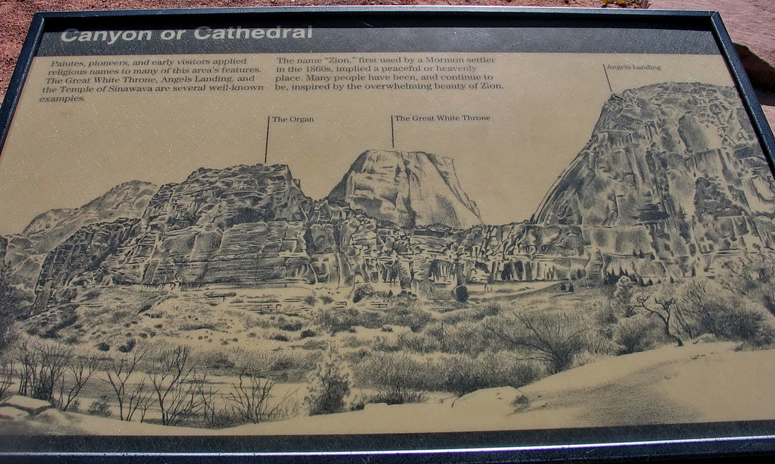
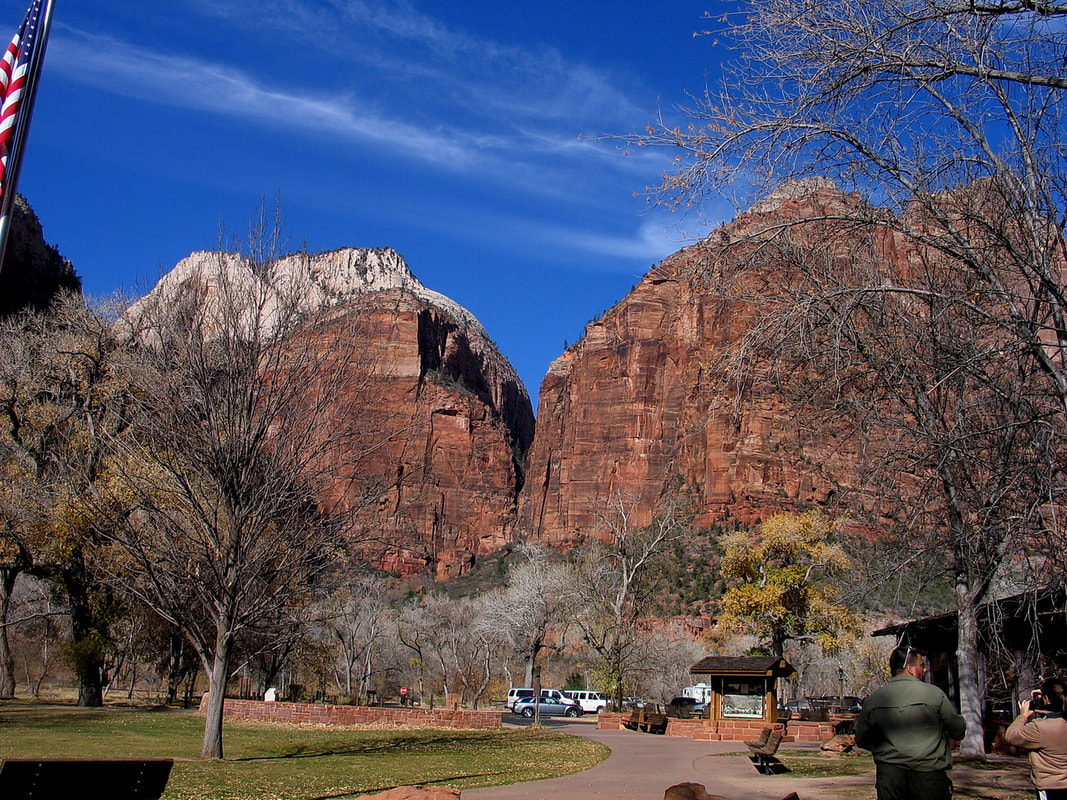
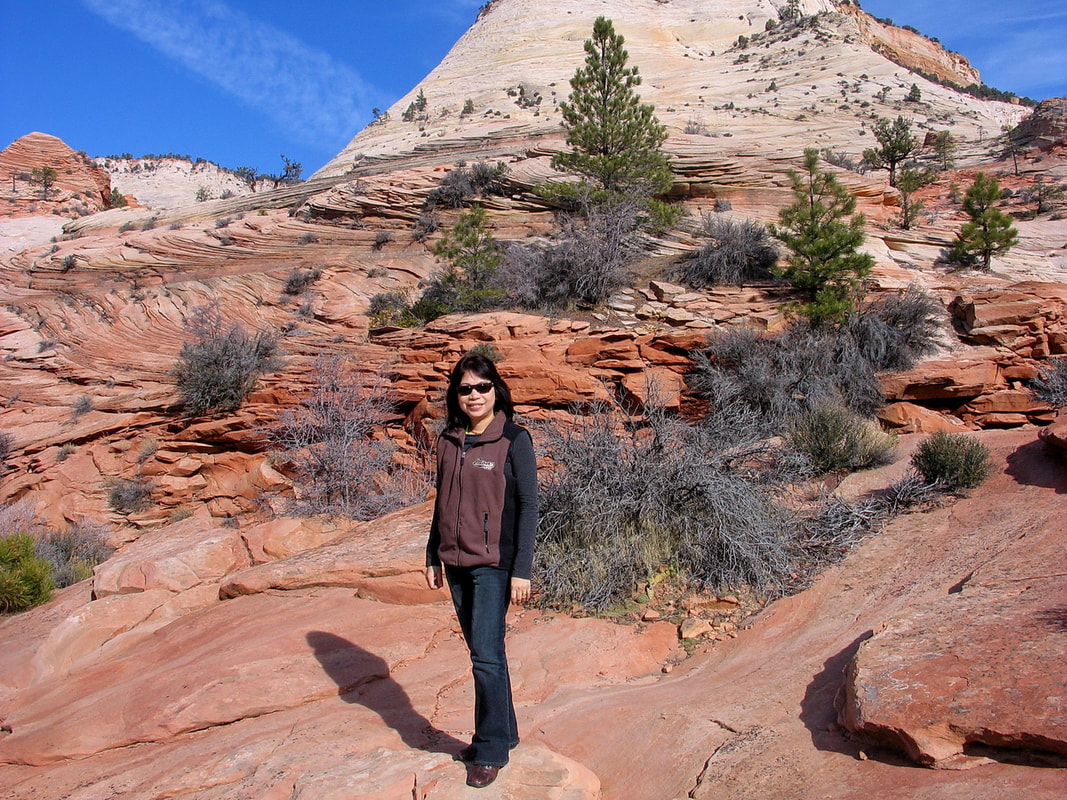
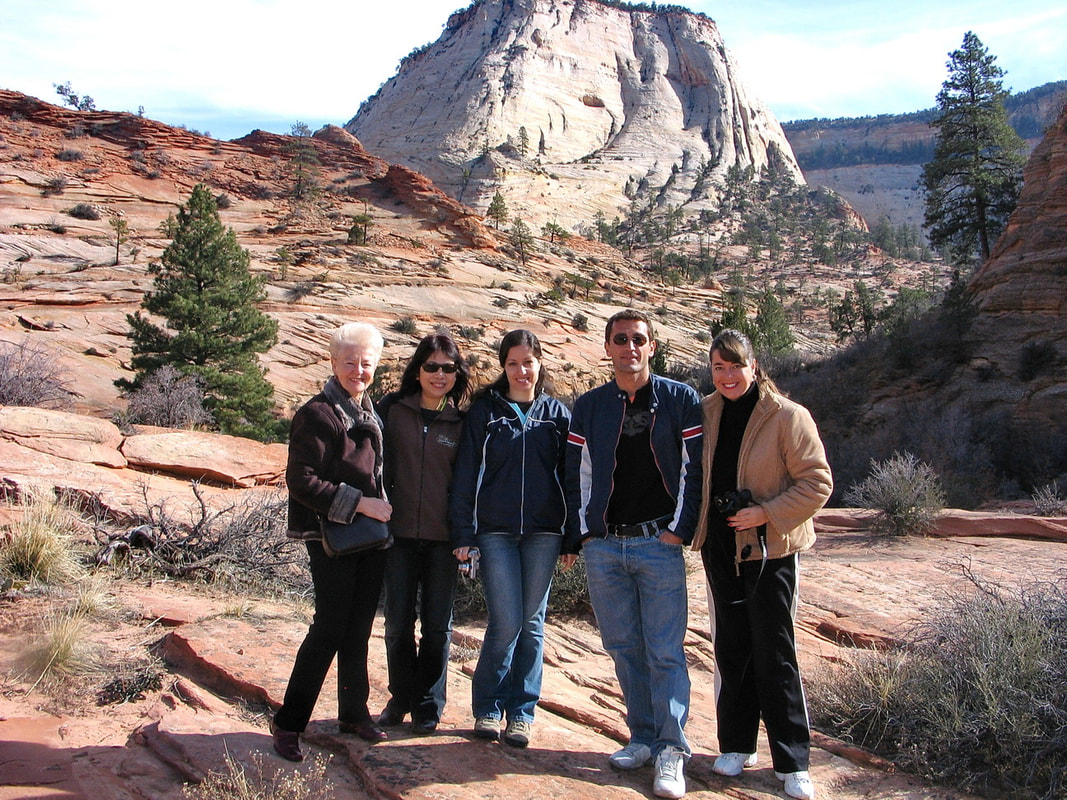
Zion National Park is a United States National Park located in southwestern Utah, near the city of Springdale. A prominent feature of the 229-square-mile (590 km2) park is Zion Canyon, which stretches 15 miles (24 km) long and spans up to half a mile (800 m) deep. It cuts through the reddish and tan-colored Navajo Sandstone by the North Fork of the Virgin River. The lowest point in the park is 3,666 ft (1,117 m) at Coalpits Wash and the highest peak is 8,726 ft (2,660 m) at Horse Ranch Mountain. Located at the junction of the Colorado Plateau, Great Basin, and Mojave Desert regions, the park has a unique geography and a variety of life zones that allow for unusual plant and animal diversity. Numerous plant species as well as 289 species of birds, 75 mammals (including 19 species of bat), and 32 reptiles inhabit the park's four life zones: desert, riparian, woodland, and coniferous forest. Zion National Park includes mountains, canyons, buttes, mesas, monoliths, rivers, slot canyons, and natural arches.Tha park was established in 1919. (source-wiki)